Note: This is a project under development. The articles on this wiki are just being initiated and broadly incomplete. You can Help creating new pages.
File:Melissa officinalis 1.jpg
Size of this preview: 397 × 599 pixels. Other resolutions: 159 × 240 pixels | 318 × 480 pixels | 397 × 600 pixels | 509 × 768 pixels | 678 × 1,024 pixels | 3,264 × 4,928 pixels.
Original file (3,264 × 4,928 pixels, file size: 4.31 MB, MIME type: image/jpeg)
Summary
| Description |
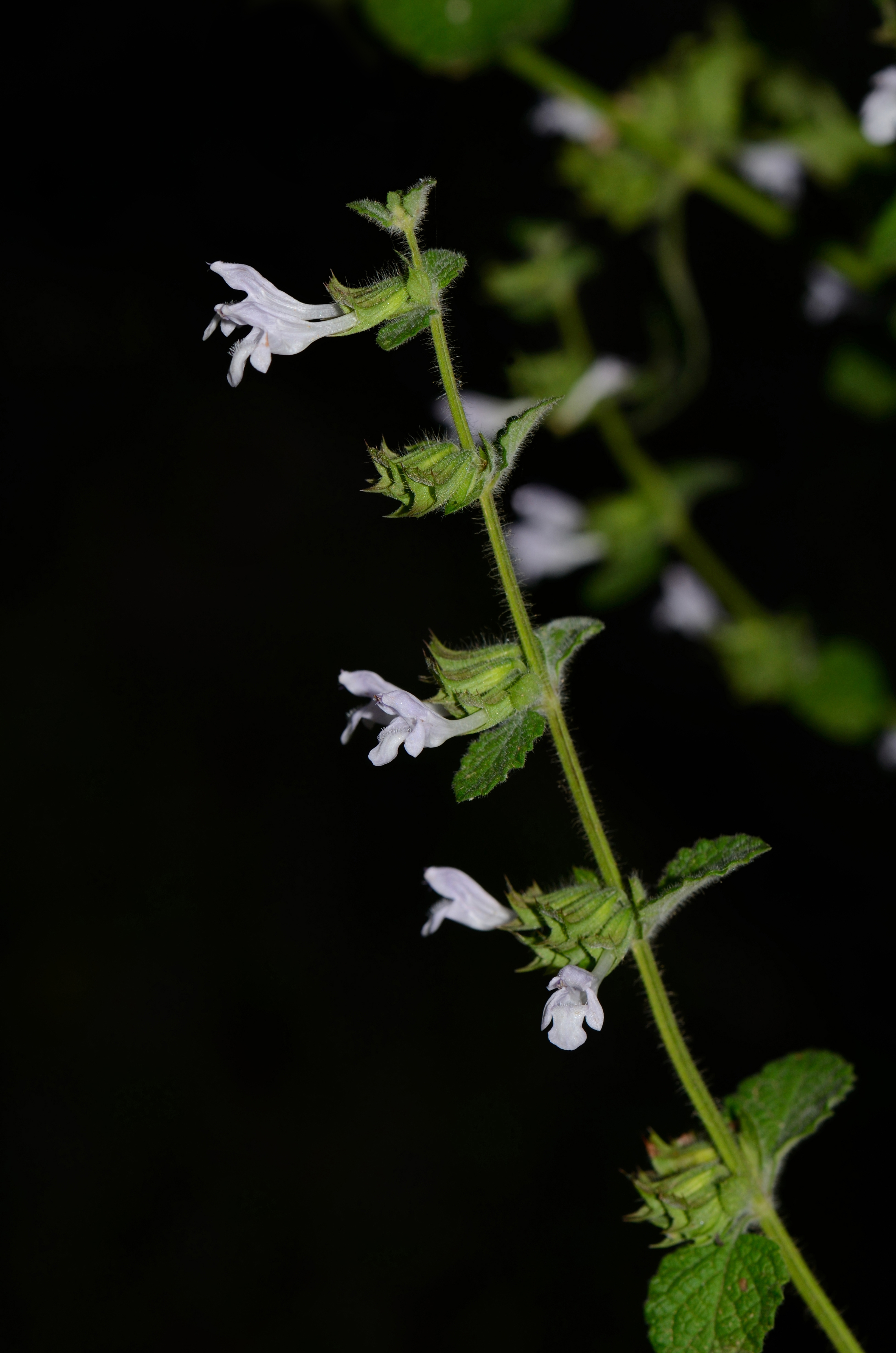
English: Melissa officinalis L., Nahal Hazuri, Mount Hermon, Golan Heights, June 22, 2012. עברית: מליסה רפואית, נחל חזורי, החרמון, 22 ביוני 2012. |
| Date | |
| Source | Own work |
| Author | Gideon Pisanty (Gidip) גדעון פיזנטי |
Licensing
I, the copyright holder of this work, hereby publish it under the following license:
This file is licensed under the Creative Commons Attribution 3.0 Unported license.
- You are free:
- to share – to copy, distribute and transmit the work
- to remix – to adapt the work
- Under the following conditions:
- attribution – You must give appropriate credit, provide a link to the license, and indicate if changes were made. You may do so in any reasonable manner, but not in any way that suggests the licensor endorses you or your use.
This image has been assessed using the Quality image guidelines and is considered a Quality image.
|
| Camera location | | View this and other nearby images on: OpenStreetMap |
|---|
File history
Click on a date/time to view the file as it appeared at that time.
| Date/Time | Thumbnail | Dimensions | User | Comment | |
|---|---|---|---|---|---|
| current | 00:59, 25 March 2014 | | 3,264 × 4,928 (4.31 MB) | Gidip | User created page with UploadWizard |
File usage
The following page links to this file: